About this place
Bluff Knoll is the most popular trail in the Stirling Range with outstanding 360-degree views from the summit.
Lookouts surrounding the parking area at the Bluff Knoll trailhead offer spectacular views of Bluff Knoll and other peaks of the Stirling Range. It's worth a visit even if you're not up to walking the trail to the summit. The lookouts and nearby undercover picnic area and toilets are wheelchair accessible.
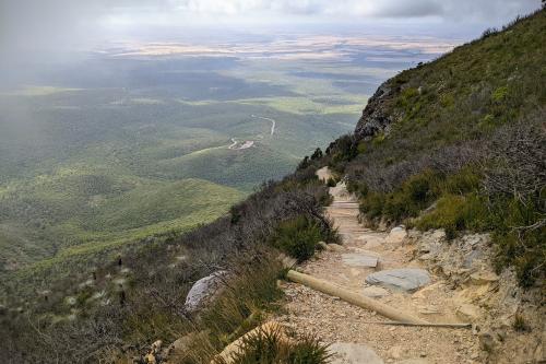
The walk starts on the southern side of the Bluff Knoll parking and picnic area. The first section of the trail is sealed and easy-going then turns toward the mountain and the ascent begins. For a while, it follows a creek directly up the slope before crossing the mountainside with a more gentle climb to a saddle. Here you can look over the ridge to the south coast. The trail then turns and follows a ridge to the summit.
Eucalypt woodland, banksia and grass trees blanket the lower slopes while exposed outcrops reveal historic rock layers - evidence of fine sediments that settled on the bottom of an ancient shallow sea long ago.
Safety information
Plan when to visit. Consider travelling with a personal location beacon (PLB). In the event you need to be rescued it could save your life!
Filling out a trip intention form could save your life. Complete this form and leave it with a reliable friend, family member or responsible person to inform them of your travel dates and the locations you plan to visit (your itinerary). Ask them to raise the alarm if you haven’t returned and/or contacted them by the agreed time
Gallery
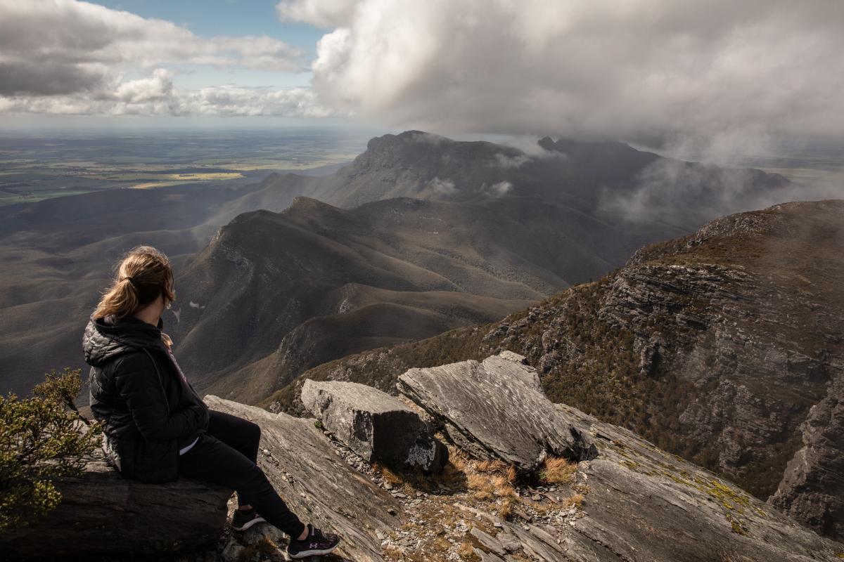
View from Bluff Knoll
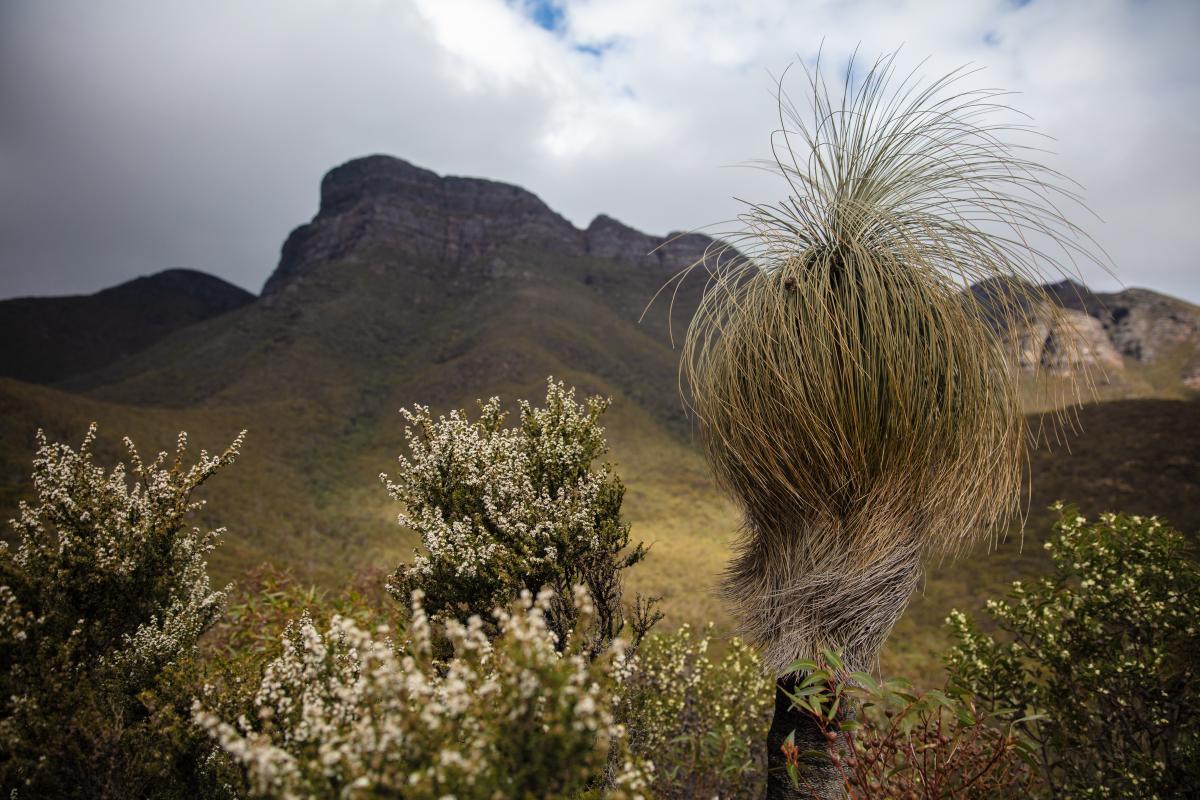
View looking up at Bluff Knoll
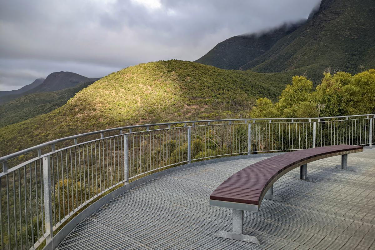
One of the lookouts at the Bluff Knoll carpark
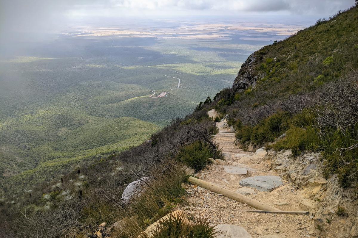
View from the Bluff Knoll Trail looking down towards the carpark
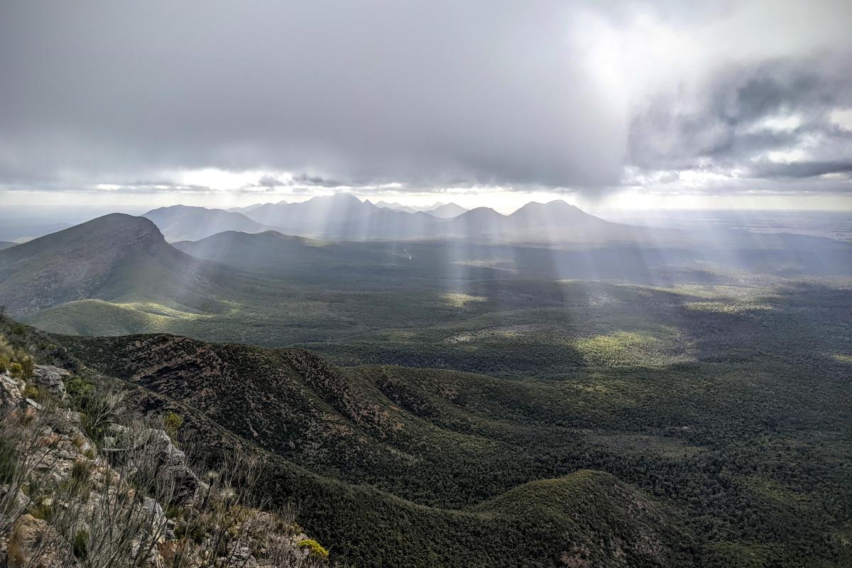
View of the western peaks of the Stirling Range from the Bluff Knoll trail
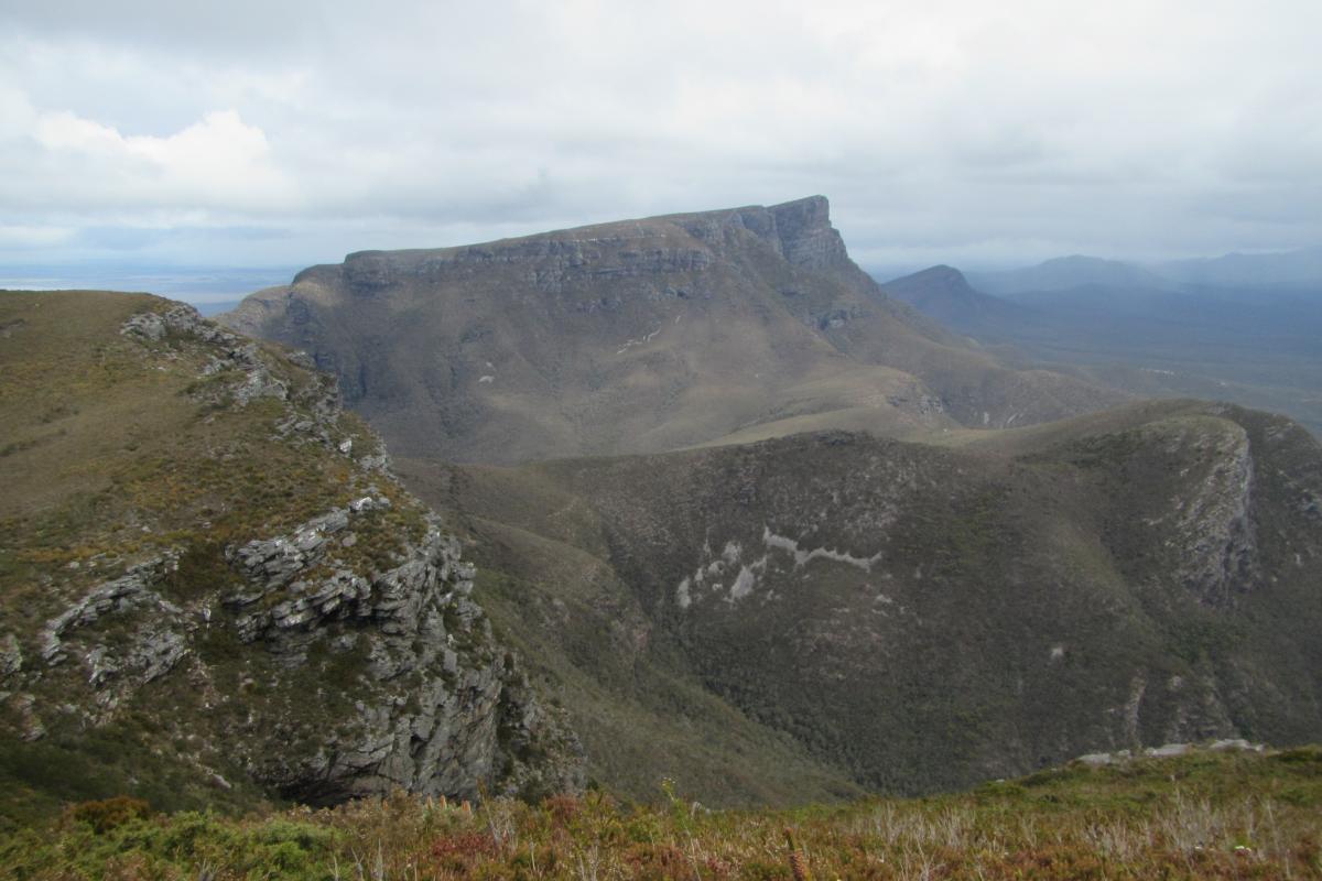
View of Bluff Knoll from the east
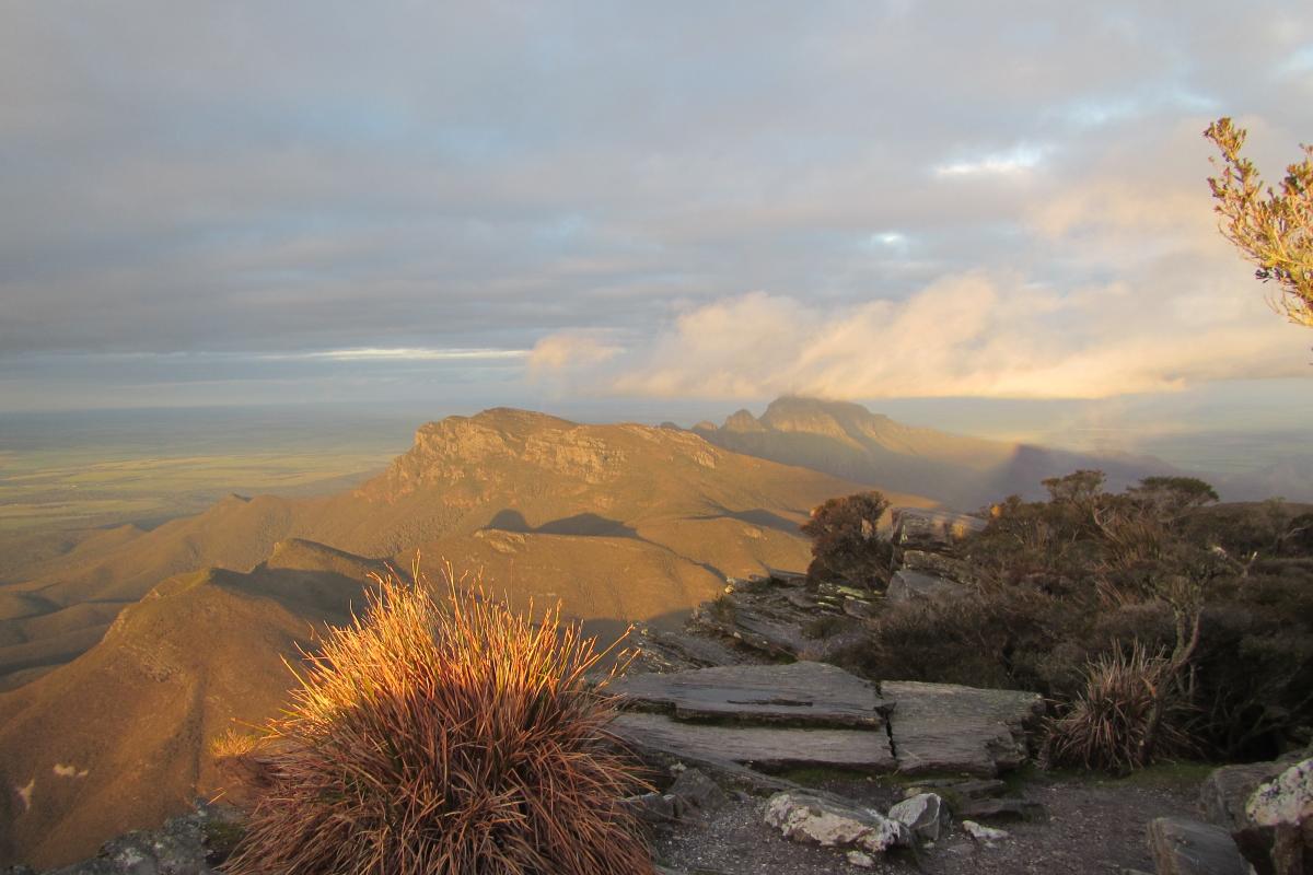
Bluff Knoll views
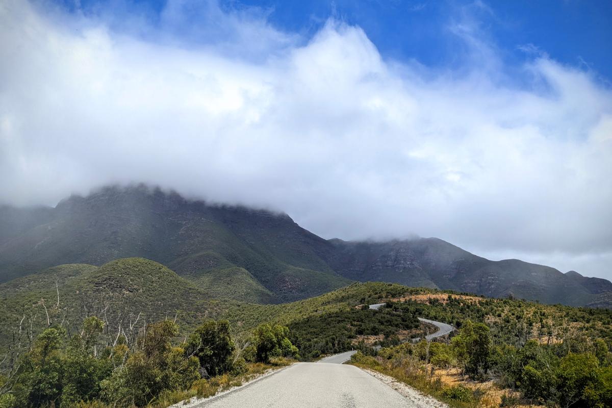
Bluff Knoll Road
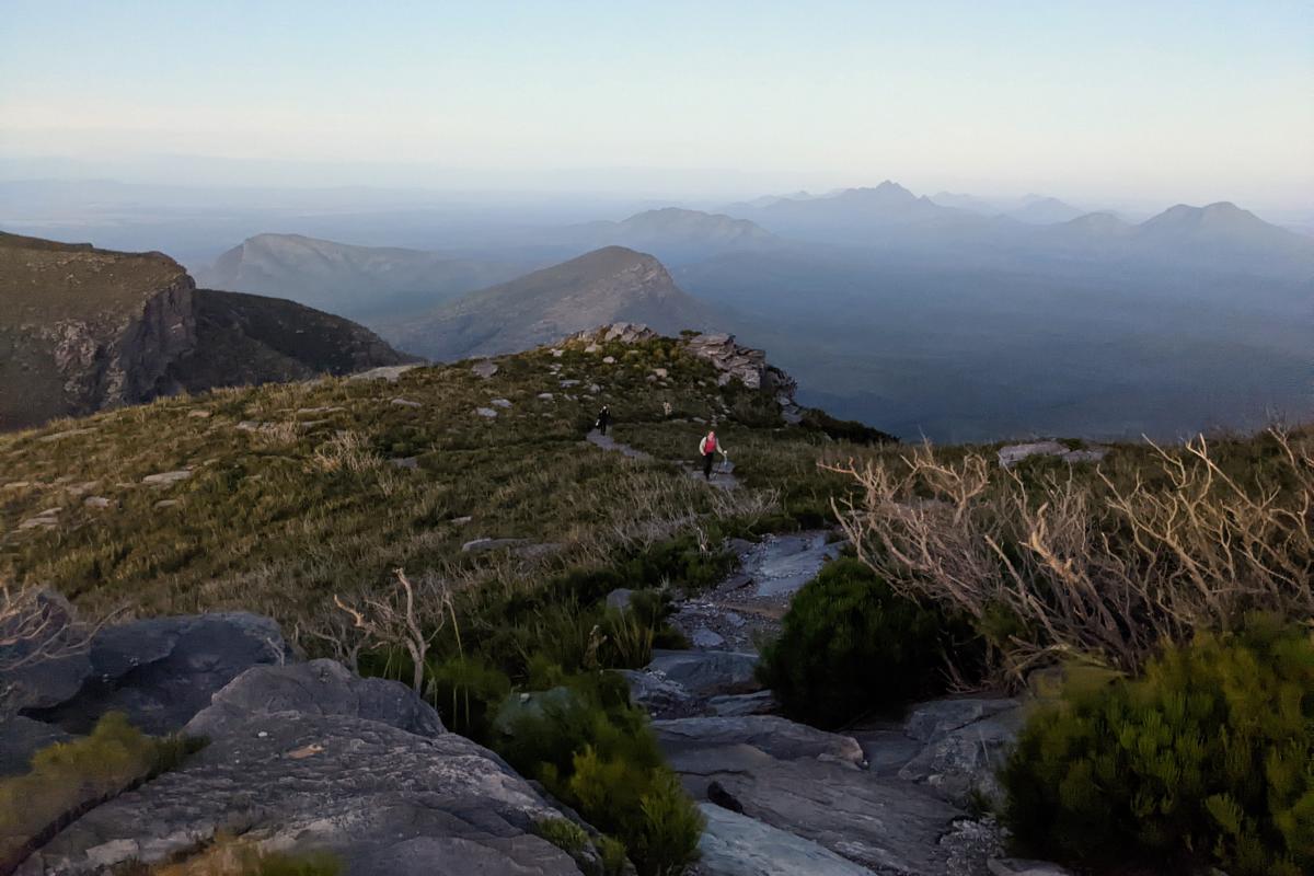
Bluff Knoll trail
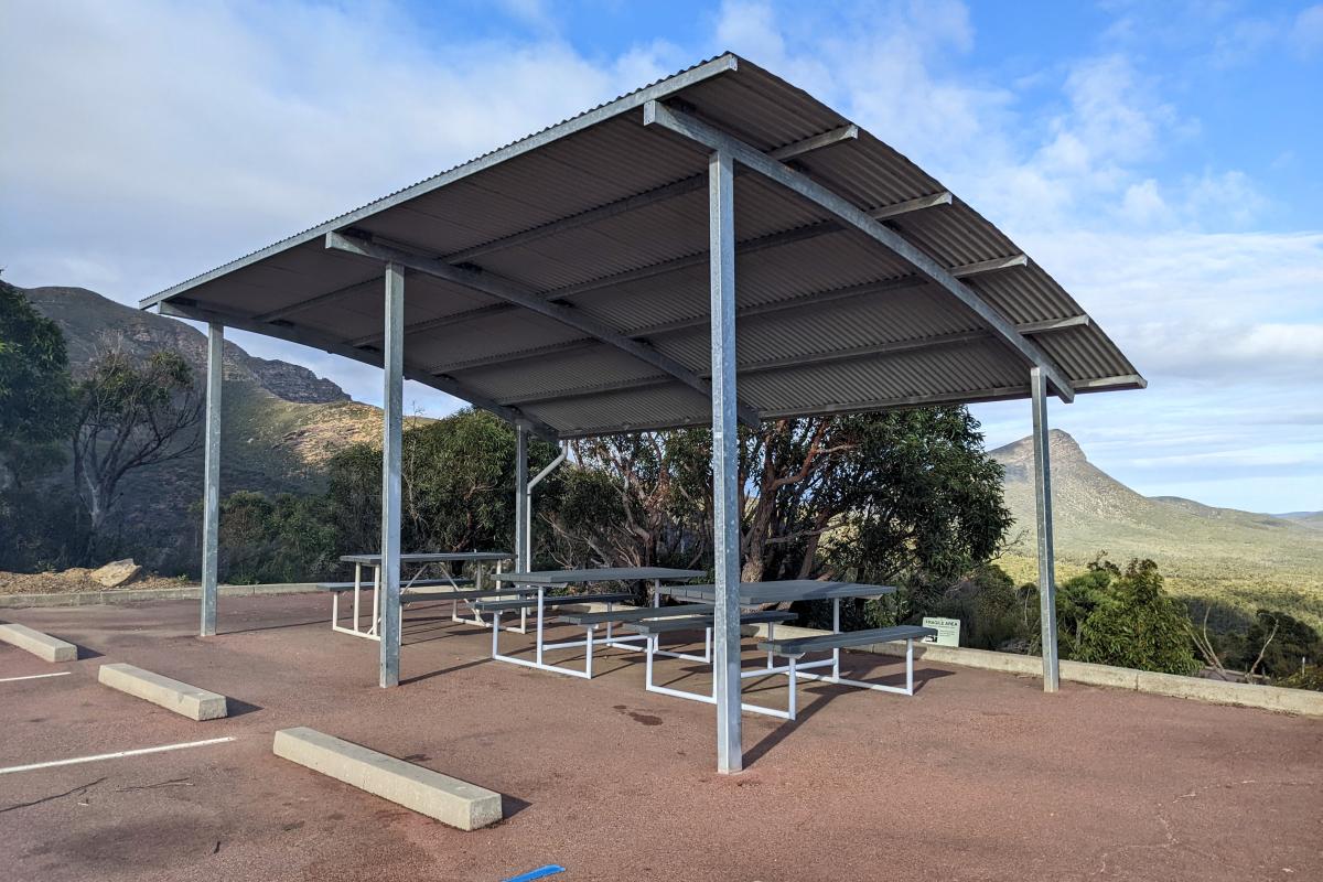
Sheltered picnic tables with a view, adjacent to the Bluff Knoll parking area
Facilities
Enjoy panoramic views over three wheelchair accessible viewing decks.
Toilet
Shade shelter
Picnic table
Lookout/Deck
Activities
 Bushwalking
Plants, wildlife and fungi
Visit the Atlas of Living Australia for a list of species recorded within a 5km radius of Bluff Knoll.
Traditional Owners
We recognise and acknowledge Goreng and Menang people as the traditional owners of Stirling Range National Park.
