• Safety
  • For Business
  • Accessibility
  • Contact Us
  • Site map
Explore Parks AccountMy Parkstay Bookings
Home Parks and Wildlife Service Explore Parks Default

Menu

  • Home
  • Go
    • Park Finder
    • About WA's regions
  • Do
  • Stay
  • Know
    • About this website
    • When to visit
    • Safety
    • Camping
    • Park Brochures
    • Tours and events
    • Conserving our parks
    • Traditional custodians
    • Fees
    • Access to nature
    • Pets in Parks
    • Trails
    • Buy Park Passes
    • Drones in parks
    • Touring WA e-newsletter
    • Travel itineraries, brochures and maps
  • What's On
  • Connect
  • Buy
    • Park Passes
    • Landscope
    • Books
    • Maps
    • Prints
    • Gift Cards
  • Alerts

Search form

Go to whole of WA Government search
Printer Friendly and PDF
Larger Smaller
Facebook Twitter

You are here

  1. Home ›
  2. Australia's Golden Outback ›
  3. Esperance & South East Coast ›
  4. Australia's South West ›
  5. Albany & Great Southern ›
  6. Fitzgerald River ›

East Mt Barren

Bookmark This

Tabs Group

Welcome
Previous Pause Next

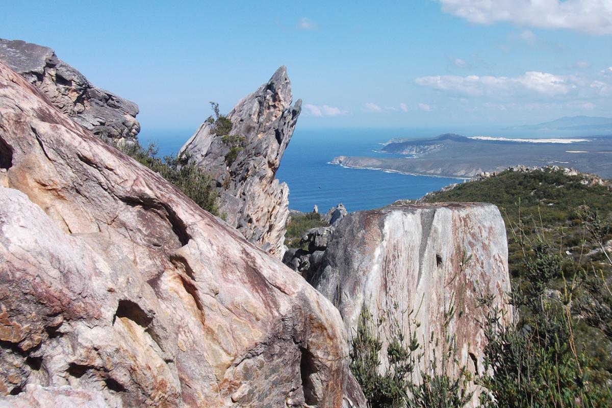
East Mount Barren is a rugged quartzite peak perched on the edge of the Southern Ocean that offers magnificent views of the park.

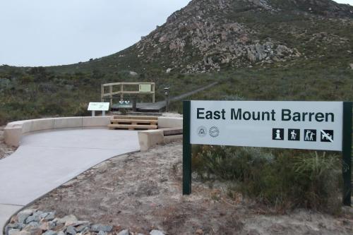
East Mount Barren (450m) is on the eastern edge of the national park and its distinctive outline can clearly be seen on the approach from Hopetoun.

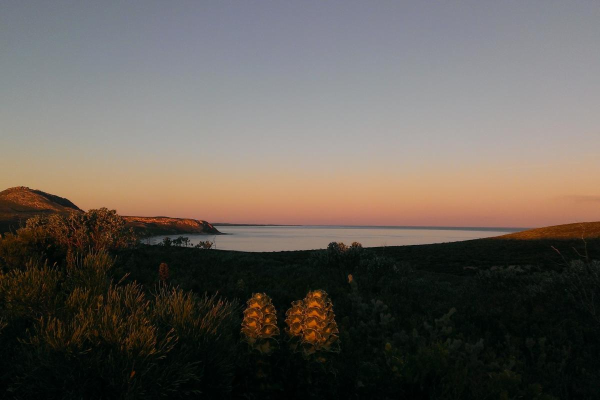
The carpark on its western side is the trailhead for the walk to the summit, which is a hard walk but well worth the effort. In season you will pass through magnificent stands of Barren's regelia (Regelia velutina), which has crimson flowers atop pale green stems.

Spectacular views
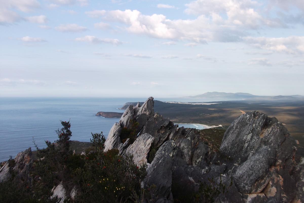
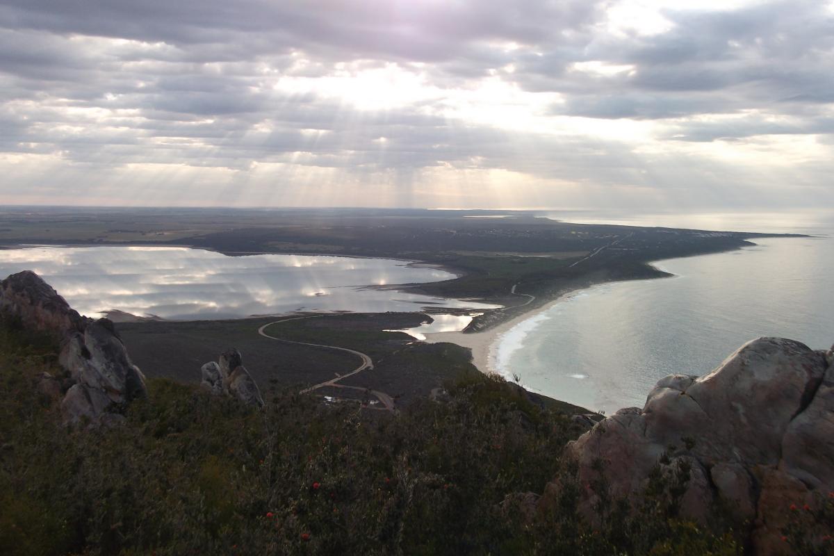
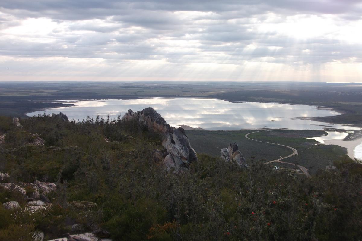
The view from the summit and for much of the trail is spectacular. On a clear day you can see most of the peaks of the Barrens Range stretching west along the coast and the Doubtful Islands some 65 km to the south-west near Bremer Bay.

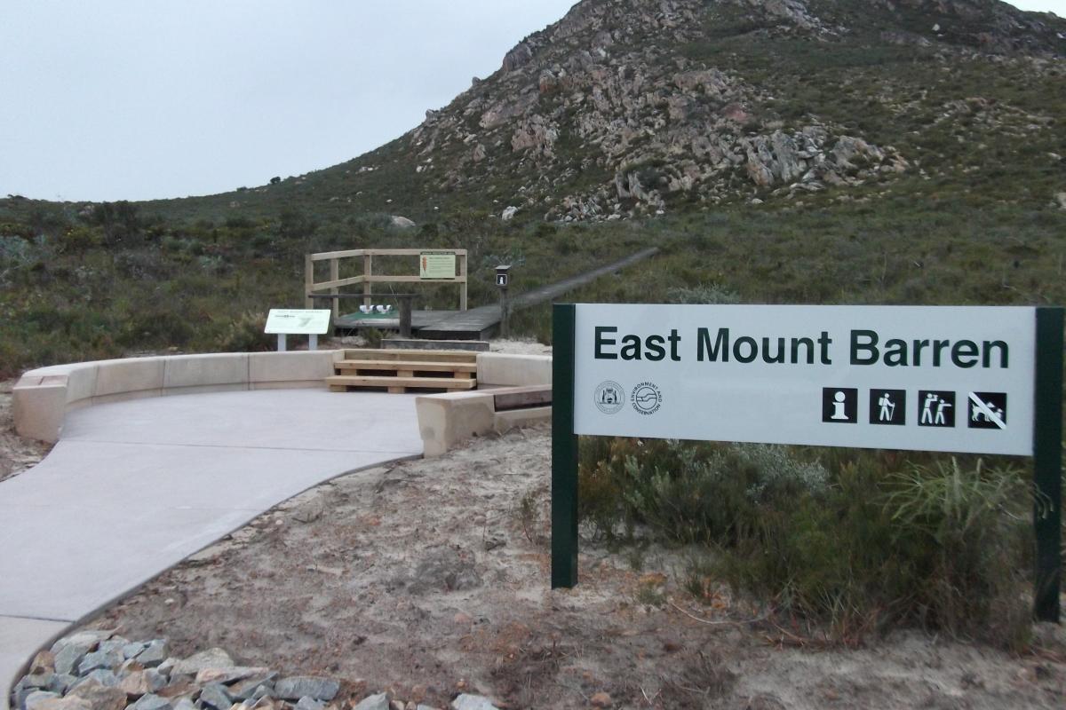
If you are not a hiker don’t worry, the views from the East Mount Barren carpark are some of the best in the park. Well worth a visit.

Rugged peaks
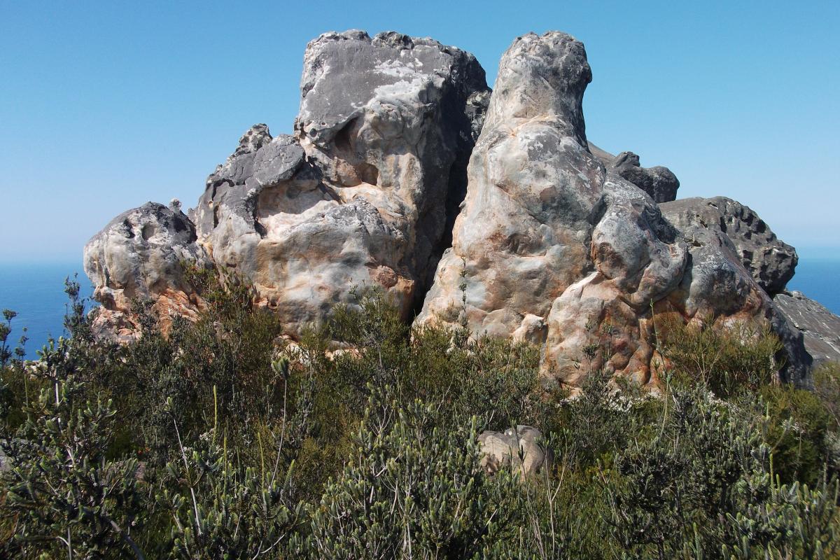
The coastal peaks collectively known as ‘the Barrens’ and dramatic headlands overlooking the sea are composed of folded and tilted layers of quartzite and schist rock. The quartzite that forms the peaks is a very hard rock that is more resistant to weathering than the surrounding rock types. Together with the schist it forms the jagged rocks that give the peaks and headlands in the park their distinctive look.

Your safety:
Cliff Risks are significant in this park.

Caring for the park:
Please clean footwear and equipment at the start and finish of any walks you do in natural areas to prevent the spread of Phytopthora dieback.

Height: 311m Distance: 2.6km return (allow 2 to 3 hours) Trail Classification: Class 4 Moderately difficult

For more information visit TrailsWA.

Getting There

You can get to this site by: Two-wheel drive

GPS: -33.9278, 120.012

Get direction in Google Map

Back to Park

Site Activities:

Bushwalking
No dogs allowedNo drinking water available
Activities
  • Bush Walking

    Height: 311m Distance: 2.6km return (allow 2 to 3 hours) Trail Classification: Class 4 Moderately difficult

Back to Park
Fitzgerald River National Park - East Mt Barren, DEC
  • Sitemap
  • Privacy
  • Copyright
  • Disclaimer
  • Terms and Conditions
  • Parks and Wildlife Service
  • wa.gov.au
Copyright © 2017, Parks and Wildlife Service. All Rights Reserved.